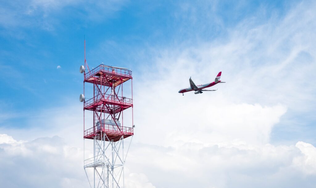
National airspace is the vertical space underlying the country’s land and territorial waters, extending up to the edge of outer space. It is the State’s responsibility to identify the aircraft that penetrate this airspace. For this task, radars and international flight plans are used. The problem in the Dominican Republic is that there isn’t sufficient radar coverage to safeguard the entire border zone, which in turn leads to abuses in ground-level regulatory enforcement by the authorities.
The Dominican Republic has a total of 1,952 km of air border, comprised of 376 km of land border plus 1,576 km of maritime border. Our airspace does not have a defined vertical limit—a space that the Dominican General Aviation Association (ADAG) advises the government to delineate for reasons of sovereignty and jurisdiction. Some mistakenly identify the Flight Information Region (FIR) as the national airspace, but it is merely an aeronautical services region assigned to the Dominican authorities.
To safeguard national airspace, States use two tools to detect or identify aircraft. The first, and most basic, is the international flight plan, in which aircraft notify the Dominican authorities in advance of their intention to enter the country via a specified air route at a particular date and time. This system is supported by an air traffic control network and international agreements that require participating aircraft to comply with all information requirements.
As a second tool for border control, nations use radar for aircraft detection. This technology is divided into two types: primary radar and secondary radar. Primary radar (known as “Primary Service Radar” or PSR) works by having a radar antenna emit an electromagnetic pulse that, upon striking an aircraft in flight, bounces back to the original antenna, thereby indicating the presence of a flying object. This type of radar is primarily used by military forces around the world, although basic or older civilian systems still employ it.
The second type is secondary radar (“Secondary Surveillance Radar” or SSR), in which an interrogation signal is sent out and received by the aircraft, which then automatically responds with an identifying code along with altitude and speed information. This system is the one most commonly used by Air Traffic Control (ATC) to detect and manage aircraft in flight.
Secondary radar typically consists of a primary signal and a secondary signal, the former having a shorter range. This combination means that while secondary radar can be used for border control, its primary function is the separation of known air traffic. The latest generation of this technology is the monopulse secondary surveillance radar (MSSR), which combines both primary and secondary techniques more efficiently and conducts more effective interrogations, thereby reducing the minimum separation between aircraft under ATC control.
In our country, there are three radars in operation for detecting aircraft: one primary radar (PSR) in Puerto Plata and two secondary radars (MSSR) in Las Américas and Punta Cana. These systems have operational limitations that must be considered within the context of their role in safeguarding our airspace.
Primary radar technology offers less coverage than secondary radar because the signal must be strong enough to bounce off an object and return to the original antenna. Additionally, it suffers more from attenuation due to mountain obstructions, which limits its coverage in mountainous areas. Secondary radar faces similar issues with its primary signal—the primary coverage is reduced since it must emit two pulses to perform both functions. As for the secondary signal, its main limitation is the requirement for aircraft to actively participate in the identification process; while it covers a greater distance, it is less effective for controlling illicit aircraft.
Due to the country’s orographic characteristics and the locations of the radars mentioned, we can conclude that a large portion of the national air border is not covered by these radar signals. In the northern region, the primary radar at Puerto Plata is obstructed by the Septentrional and Central mountain ranges, leaving the Cibao area without radar coverage below 4,000 feet. The same occurs along the land border with Haiti, from Montecristi to Pedernales. The radars at Punta Cana and Las Américas have a primary detection range of 60 nautical miles, covering the entire eastern part of the country, but their primary coverage to the west only extends as far as the Azua region.
This means that almost the entire national airspace to the west of Jarabacoa is uncovered, including the critically important area of the border with Haiti. Not only does this lead to problems in detecting illicit aircraft in these zones, but it also complicates air traffic control operations, as well as the search for and tracking of distressed aircraft in that part of the country.
This lack of border control has driven the authorities to use archaic ground-level inspection procedures, which interrupt and delay much of the national air operation. Moreover, these measures hinder the development of internal tourist zones due to the constant restrictions imposed for surveillance purposes. Examples of these burdensome processes include flight restrictions at domestic airports in Montecristi, Dajabón, Constanza, Cabo Rojo, Angelina, and Cueva de las Maravillas.
These tourist airports have been irregularly closed to civil traffic by the Dominican Air Force, only opening upon request for a flight permit 24 hours in advance. Additionally, an arbitrary requirement—known as Form 27—has been created to inquire about the destination of domestic flights, even though that information is not mandatory according to the constitution and the laws.
Our country boasts great tourist attractions and is geographically close to the U.S. private aviation market, the largest and most active in the world. However, the lack of control over our airspace has made general aviation a real headache for our users and visitors. It is also highly contradictory for the authorities to restrict operations in some of the areas with the highest domestic tourism. If we truly want to develop our national aviation, we must invest in new radar systems for these zones and, once and for all, end the stigma that if a flight is national, it must be viewed with suspicion of illicit activity.
